
Castle Rock Resident History Sources by Era
A one-address history needs several record types. The assessor and recorder establish parcel and transfer clues; directories, newspapers, census schedules, permits, cemetery, and court files add dated evidence. Keeping source windows separate prevents a current owner, permit applicant, or newspaper mention from being mistaken for every person who lived there.
| Source | Years It Covers | Where Held | What It Shows |
|---|---|---|---|
| Douglas assessor and recorder | Recorded images reach the 1800s; no clean online cutoff stated | Assessor search, LandmarkWeb, county research stations | Parcel, legal description, parties, instruments, dates, and images |
| Castle Rock Journal | 1881-1908; directory issues 1886-1888 | DCL Archives & Local History and microfilm | Notices, public roles, businesses, family and address leads |
| Record-Journal | 1908-1952 | Miller Library and microfilm | Local news, family events, businesses, and civic clues |
| Douglas County News | 1952-1966, with gaps | DCL holdings, microfilm, and partial digital run | Later notices and obituaries; digital run ends mid-1966 |
| DCL phone books and yearbooks | Phone books 1966-1973 | Philip & Jerry Miller Library Archives & Local History | Dated phone, household, school, and address leads |
| Federal census | 1790-1950 released on a 72-year cycle | Library, database, and NARA routes | Household snapshot at an enumeration date |
| Permits and inspections | Portal history varies; dated records are evidence | Castle Rock eTRAKiT and Douglas building search | Applicants, owners, work, issue dates, inspections, and notes |
| State Archives and cemetery leads | Naturalization 1870-1920; probate 1865-1945; divorce 1867-1961; Cedar Hill founded 1875 | Colorado State Archives, Town, DCL, and Historical Society | Relationships, estates, court clues, burial leads, and historical context |
Choose the starting source by the question. A recent parcel trail begins with the assessor; an early household may begin with the Castle Rock Journal or State Archives. A missing result calls for another custodian, not a claim that no one lived there earlier.
Tracing Castle Rock Past Owners by Deed
Douglas County says to start with the assessor's owner display, legal description, subdivision, lot, block, tract, account, or state parcel number. A street address is not the recorder's index key. The Recording Division is at 301 Wilcox Street, open Monday through Friday 8 a.m. to 5 p.m.; phone 303-660-7446. LandmarkWeb supplies online name, legal, document, book/page, reception, and date paths, while research stations supply older books or images.
- Copy the assessor owner, account, state parcel number, situs, and full legal description. Record the date and keep mailing address separate from situs.
- Search the current owner in LandmarkWeb as grantee or party. Use legal description, subdivision, lot, block, or tract when the street line fails.
- Note grantor, grantee, reception or instrument number, recording date, document type, book/page, legal description, and image availability.
- Search the earlier grantor as grantee and compare the legal description before accepting the next instrument as the same property.
- Repeat through warranty, quitclaim, trustee, estate, or company transfers. A recorded party is not automatically a household.
- For a missing year or image, use the research station and index books. Pre-2002 reception searches use “Contains,” with no clean online cutoff stated.
- Grantor and grantee
- The grantor transfers or conveys an interest; the grantee receives that interest. The labels describe the instrument, not proof that either person lived at the address.
- Chain of title
- A dated sequence of recorded transfers for the same legal parcel. It is an ownership trail, not a complete list of occupants.
- Legal description
- The lot, block, tract, subdivision, or other property description used to identify the land in the record. It is more reliable for old deed searching than a modern street line.
When a copy is useful, the county fee schedule lists $43 for most common documents, printed copies at $0.25 per page, and certification at $1. A station visit or request may still be needed.
Douglas County's recording instructions are the source for the legal-description-first route shown in the image below.

The image reinforces the crosswalk from address to parcel to named instrument.
LandmarkWeb in Castle Rock Resident History
LandmarkWeb can expose a name, document type, record date, reception number, book/page, legal search, and image when available. Search families include name, document, book/page, date, reception, legal, quick, and marriage. Use the narrowest route and cite the instrument.
Douglas County says historic images reach the 1800s, but it does not promise one clean online cutoff and some material remains at research stations. A June 2026 report describes land records dating to 1866 as digitally preserved and online. That still allows incomplete indexing. “Digitally preserved” does not mean every old address can be searched by street.
| Assessor card | Current account, owner display, situs, mailing address, legal description, value, tax authority, and sales links. |
|---|---|
| Recorded instrument | Grantor, grantee, reception or instrument number, record date, document type, book/page, legal description, and image when available. |
| Historical gap | Older metadata, images, or index books may require the county research station; pre-2002 reception searches use Contains. |
A quitclaim, public trustee deed, trust, estate, or company transfer can change title without naming an occupant. Use a directory, newspaper, permit, or probate file only when it adds a household clue.
Castle Rock Permits in Address History
Permit records add a dated event to a house history. Castle Rock's eTRAKiT portal includes permit, project, contractor, inspection, and CRM routes, but the public search can redirect to login. Use Town building pages, a public report, or Douglas County searches, which accept permit, address, parcel, date, contractor, and completion fields.
Permit 24-3264 describes a pergola at 5598 Missoula Trail, with an August 15, 2024 application, January 13, 2025 approval, January 14, 2025 issuance, named applicant and owner, and inspections. It shows a dated event, not current occupancy.
The Denver Public Library building-history tutorial is the manifest source for this research image.
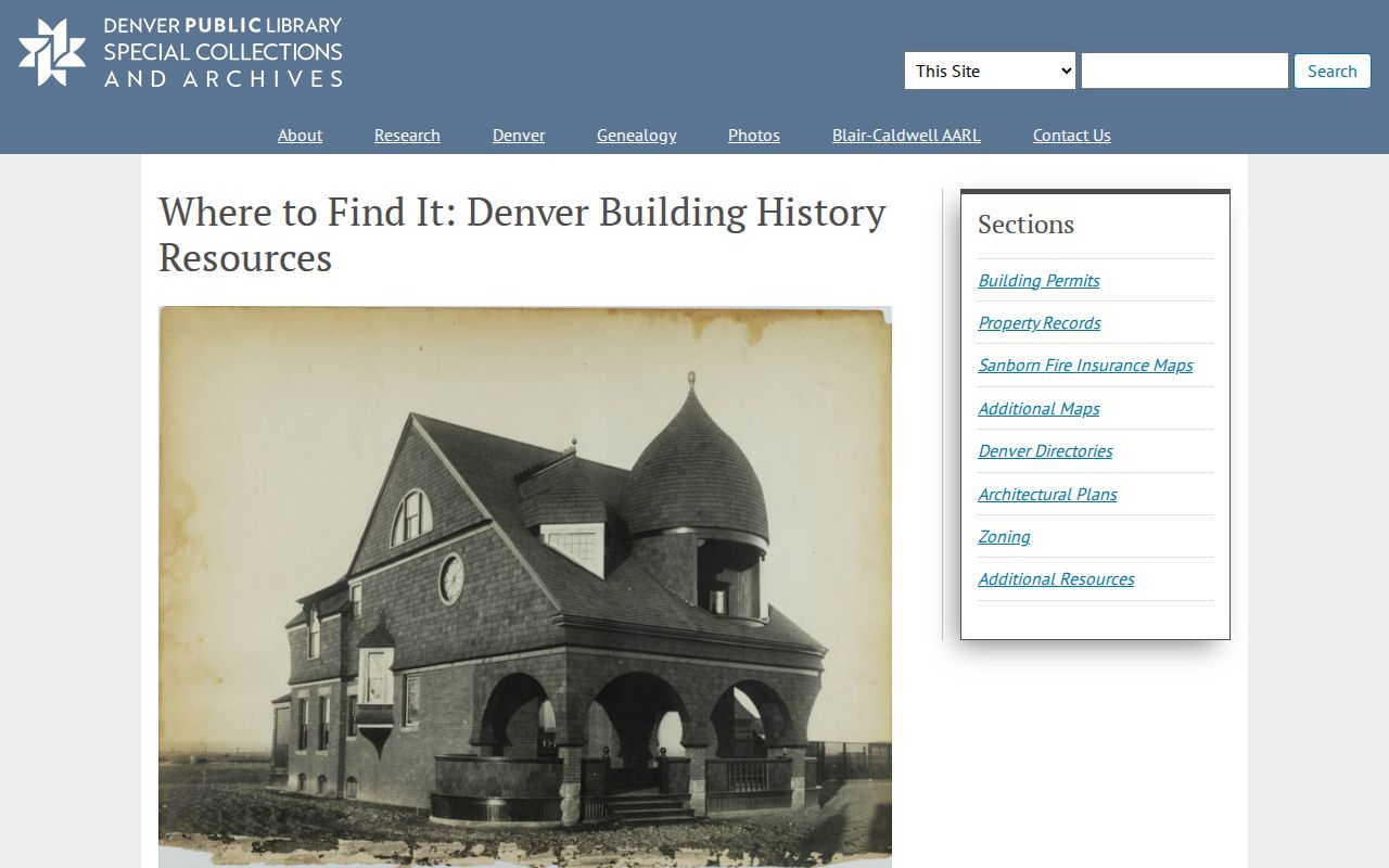
Date the event, retain the displayed fields, and pair it with a deed or directory before inferring a household.
Mapping Castle Rock Previous Occupants Through Time
Old street wording can break a backward search. Castle Rock's original grid followed the 1874 county-seat move, with early streets such as Jerry, Elbert, Wilcox, Perry, Castle, and Front. Preserve the period name, locate the block or lot on a dated map, then compare it with county parcels and Town boundaries.
DCL confirms maps and Sanborn material, but the captured official sources did not locate a Castle Rock-specific Sanborn edition or year. Denver sheets must not be presented as Castle Rock maps. The Library of Congress guide explains catalog searching; DCL can confirm a local sheet, year, or call number.
The Library of Congress Sanborn searching guide supplies the source context for the map research shown here.
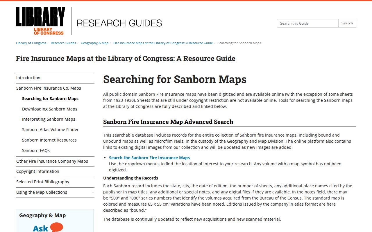
Use a period map as a crosswalk, not a silent conversion. State the old street, map source, block or lot, current GIS result, and confidence.
Castle Rock Phone Books and Resident Clues
The DCL path for earlier occupants combines local phone books with newspapers. Phone books cover 1966-1973. The Castle Rock Journal runs 1881-1908, the Record-Journal 1908-1952, and the Douglas County News 1952-1966, with gaps and digitization ending mid-1966. Search an address, name, business, obituary, marriage notice, or public role, then keep the issue and page.
The 1886-1888 Journal business and government issues add a narrow early window. DCL samples include commissioner, trustee, telegraph operator, street/water commissioner, and mayor entries. They are public-role examples, not a complete list or guaranteed address format. DPL's regional criss-cross run spans 1924-2018, with 1924-1937 digitized; Library of Congress regional volumes include 1970 and 1974.
For exact directory shelves, use the Castle Rock city directory collections route and then return to the one-address trail. The city directory source supplies the dated page; the parcel and map sources test whether its street clue belongs to the same land.
Castle Rock Past Residents in Census Records
Directories and census schedules answer different parts of the household question. A directory may list a head of household, phone subscriber, business role, or public name. A census is an enumeration snapshot, and federal releases run through 1950 under the 72-year cycle. Use the smallest set of records that can test the address.
- Set one target period and preserve the historic street wording from the newspaper, directory, deed, or map.
- Find the closest directory or newspaper issue and copy its name, address, role, page, and collection details.
- Compare the nearest released census image or index for the same town, street, household, or enumeration district.
- Check the next directory or newspaper window for a move, death notice, new owner, business change, or missing issue.
- Close the lead with a deed, permit, obituary, probate file, divorce file, naturalization record, or cemetery source when the record is available.
“Who lived here before” is often an inference. Say whether the source shows ownership, an address mention, a household, a public role, or only a nearby geographic clue.
Douglas Archives for Castle Rock Resident History
Colorado State Archives holds Douglas-specific series beyond directory years. Naturalization declarations cover 1883-1911, final documents 1903-1920, and Justice Court naturalization declarations and finals 1870-1890. Probate covers 1865-1945, and district-court divorce 1867-1961. These files may connect names, relationships, estates, residences, occupations, and witnesses, but access rules vary.
The Colorado State Archives probate request guide is the manifest source for the first archive view below.
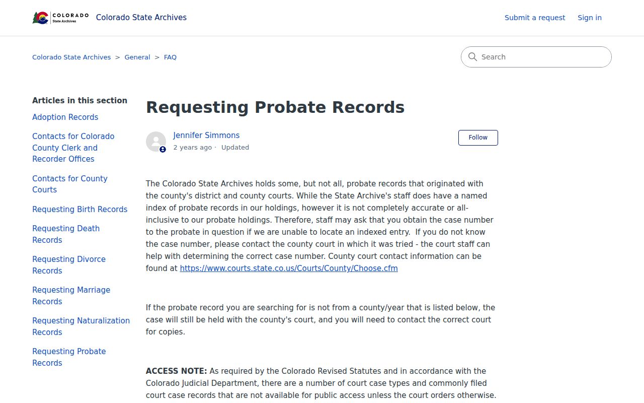
A probate request can connect an estate to a person or relationship, but it does not prove that a beneficiary lived at the target address. Ask for the case or series, date range, name variants, and copy or certification needed.
The State Archives naturalization-record guide supplies the second archive route and the source behind this image.
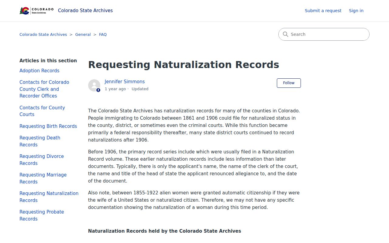
Naturalization papers add a dated name and place clue. Use the record or archivist response, not a family assumption, to join it to a Castle Rock address.
Cedar Hill Leads for Castle Rock Past Residents
Cedar Hill Cemetery is a local endpoint when a newspaper, family file, or obituary points to a death or burial. The Town describes it as founded in 1875, Castle Rock's only cemetery, at 880 Wolfensberger Road. It contains pioneers significant to Castle Rock and Douglas County, but no public interment-name lookup was located.
Use Town cemetery and walking-tour material, DCL files, newspapers, obituaries, and the Castle Rock Historical Society. The society works from the 1875 depot at 420 Elbert Street, open Wednesday through Friday noon to 5 p.m. and Saturday 11 a.m. to 4 p.m.; phone 303-814-3164. Ask for a collection or memorial source, then cite date and place.
A burial lead cannot by itself prove residence. Pair it with the address, period map, directory, deed, or family record that supplies the connection.
Castle Rock's Courthouse Gaps for Resident History
Missing records have a local explanation. Douglas County's courthouse and jail were at Frankstown, and that courthouse burned in 1875. After the county seat moved to Castle Rock, a rhyolite courthouse was built in 1889. It burned in 1978, with almost all records lost; a justice center followed in 1979.
A missing deed, probate item, or administrative record is not proof that a person or event did not exist. Check the Castle Rock Journal, Record-Journal, Douglas County News, DCL manuscripts, State Archives, recorded copies, tax history, church and cemetery material, and family papers.
Earlier-occupant research is strongest when it reports source, date, jurisdiction, and confidence. A legal address trail can support house history and family research. Never use it to stalk, harass, or track a living person, or present it as a complete Castle Rock resident roll.
Lawful house history. Use public records for genealogy, property history, civic research, and personal curiosity. Respect protected records and stop when a source does not establish a lawful need to identify or contact a living person.