
Castle Rock ZIP Coverage
Castle Rock’s postal city set has three postal codes. The table keeps postal facts separate from Town limits and neighborhood lines. The USPS Castle Rock location confirms the central facility and annex, while individual delivery details still need a street and unit check.
| ZIP | Areas Covered | Post Office | Notes |
|---|---|---|---|
| 80104 | Castle Rock postal-city addresses, including the historic downtown and older central addresses | Castle Rock Post Office, 220 S. Wilcox Street, Castle Rock, CO 80104-9997; Castle Rock Annex, 300 E. Miller Court | Validate each delivery line with USPS ZIP4 |
| 80108 | Castle Rock postal-city addresses in the 80108 delivery area | USPS postal label is Castle Rock; no separate 80108 retail station was identified in the source sweep | Do not infer a neighborhood boundary from the code |
| 80109 | Castle Rock postal-city addresses in the 80109 delivery area | USPS postal label is Castle Rock; no separate 80109 retail station was identified in the source sweep | Use the exact street and unit for delivery validation |
The 80108 and 80109 rows intentionally avoid assigning named neighborhoods. USPS groups them under Castle Rock, but the research did not expose a public neighborhood-by-ZIP delivery map. A ZIP centroid or general web map cannot replace the individual USPS result, and the postal label does not decide whether a parcel is inside the Town of Castle Rock.
The Douglas County Assessor maps hub shows the county’s ZIP, parcel, zoning, tax, and boundary layers that complement the postal lookup.
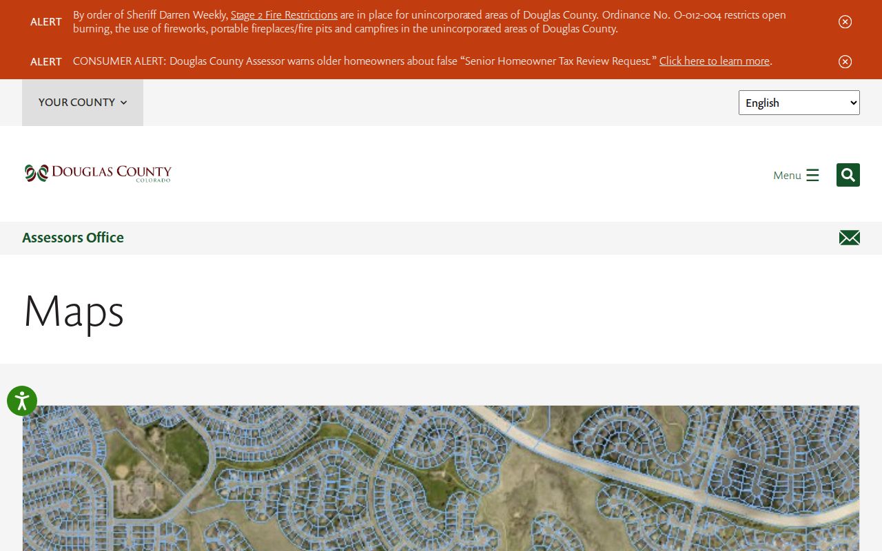
The map is useful for context and narrowing a county search. It is not the final authority for the ZIP printed on a deliverable address.
USPS Castle Rock Validation
An individual ZIP answer comes from USPS ZIP4, not a map polygon. Enter the street line, city, and state, then retain the returned ZIP and ZIP+4 when the unit or delivery route matters. County maps link to USPS because planning layers and postal designations can differ.
The Castle Rock location record identifies the 220 S. Wilcox Street post office in 80104 and the 300 E. Miller Court annex. Those facilities anchor the postal label, but the source sweep did not identify a separate public retail-station assignment for 80108 or 80109.
The USPS Castle Rock location record is the source for the local post-office and annex details used in the coverage table.
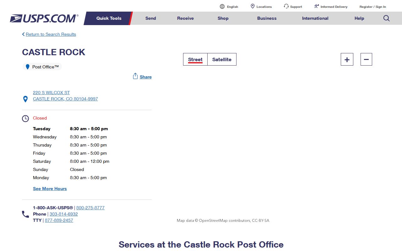
For a house, unit, business, or historical address, pair the USPS result with the original source spelling. Do not silently rewrite a deed, voter file, newspaper notice, or directory entry.
Castle Rock Assessor ZIP Search
The Douglas County Assessor can use a postal field as a narrowing filter, but its result remains a parcel record. The basic search offers Address, City and ZIP field, Owner Name, Account Number, and State Parcel Number. The advanced form adds street range, city, ZIP field, subdivision, block, lot, tract, tax district, and land fields. Add a street or city constraint when possible.
| Search group | ZIP-capable fields | What to preserve |
|---|---|---|
| Basic address | Address, City, and ZIP field | Complete situs line, result sort, account and parcel |
| Advanced address | Street Number from/to, Street Name, Cities, ZipCode | Street range, city value, exact ZIP and unit where shown |
| Parcel crosswalk | Account, State Parcel Number, subdivision, block, lot, tract | Legal description and map link |
| Context layers | Tax district, tax authority, neighborhood, zoning and boundary map | Layer name and checked date, not a resident claim |
The Douglas County Assessor search landing page shows the county route for ZIP-capable parcel research.
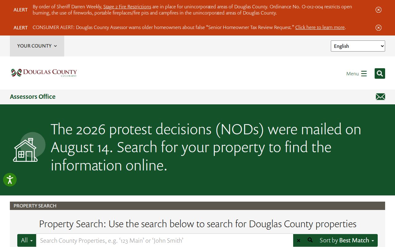
The advanced search also filters owner, sales, grantor, grantee, recording number, value, building use, and land attributes. These fields can test a parcel in a ZIP, but they do not create a complete resident roll. Check a selected account against the county map and, if needed, the recorder’s legal-description search.
Note: ZIP narrows the county search, while the parcel number and legal description identify the record that should be cited.
Finding Castle Rock Records by ZIP
Finding a person by postal code means moving through several record types in a fixed order. Postal validation comes first. Parcel and voter data then provide separate administrative views. District fields explain the political or service area attached to a record, but they do not expand the list of people who can be inferred from it.
- Enter the full street and unit in USPS ZIP4, and save the returned ZIP or ZIP+4 with the date checked.
- Use the Assessor basic or advanced form with ZIP plus street, city, parcel, or owner fields. Save account, state parcel, situs, legal description, and map context.
- Open the county map layers to check parcel shape, Town boundary, subdivision, tax district, and neighborhood context. A map click is geography, not proof of occupancy.
- Use the Colorado voter self-lookup for a person’s own registration check, or request a dated county or state voter product when the stated purpose and statutory route support it.
- Once one ZIP narrows the search to a street, continue with the Castle Rock street directory for address-level record instructions.
A ZIP-wide search can miss unregistered voters, protected voters, people whose record uses a different mailing line, and parcels outside the Town. It can also return owners, entities, permit applicants, or tax contacts who are not current occupants. Report the role and date exactly as the source displays them.
Castle Rock ZIP Population Context
Population figures add scale but do not count records in a ZIP. The U.S. Census QuickFacts page reports a Castle Rock 2020 Census population of 73,158, a 2010 population of 48,231, and a July 1, 2025 estimate of 83,815. Those figures describe the Town as a statistical place. They do not say how many households, parcels, voter records, or deliverable addresses belong to 80104, 80108, or 80109.
Population change is one reason a postal directory should be treated as a dated access guide. Addresses are added, split, renumbered, annexed, or assigned to a different parcel context. Census, postal, municipal, and election geography each have their own rules.
Pair any number with its geography and date. Do not divide the total among the three postal codes or use it to estimate search results.
Postal, Parcel, and Civic Layers
A Castle Rock mailing city, postal code, parcel, neighborhood, and Town boundary can all be valid labels for one address while pointing to different systems. USPS answers delivery. The Assessor answers account and situs. County GIS supplies parcel and tax context. Town maps supply municipal and neighborhood context. Elections adds precinct, municipality, legislative, judicial, and special-district fields.
| Question | Best source | Do not infer |
|---|---|---|
| Which ZIP goes on mail? | USPS ZIP4 | Town membership or court authority |
| Which parcel is at the address? | Douglas Assessor and county map | Every occupant or household member |
| Is it in Town limits? | County and Town boundary GIS plus annexation history | Postal city from the ZIP alone |
| Which district is listed? | County voter fields and district maps | How a person voted or belongs to a group |
| Which custodian receives a request? | Town, county, court, or state office | ZIP as the records jurisdiction |
Near the Town edge, a Castle Rock postal address may be outside the municipal line, while a Town address may carry a label that does not describe a neighborhood or service district. Keep municipal status, postal label, parcel situs, and custodian separate.
Castle Rock ZIP Boundaries and Town Limits
Annexation history makes a postal city an unreliable stand-in for a municipal boundary. The Town’s annexation information explains that recognizable Castle Rock locations can sit outside Town limits. The county remains important for parcels, addressing, recording, elections, and county court, even when USPS prints Castle Rock on the address.
The boundary check should use the relevant GIS layer and the date of the record. A current parcel line can differ from a historical Town line. A neighborhood polygon can cross or touch a municipal boundary without changing the ZIP. A voter district or special district can overlap both. No 80108 or 80109 neighborhood boundary is asserted here because the research did not locate an official delivery map that supports one.
Layer rule. Use USPS for the individual delivery ZIP, the county or Town map for municipal context, and the named custodian for the record request. None of those layers is a complete resident roster.
Castle Rock Neighborhood and District Maps
The Town’s neighborhood resources add local geography without creating a membership list. The public ArcGIS experience and Neighborhood MapServer cover more than 150 mapped neighborhoods and can expose boundary, subdivision, HOA, master-neighborhood, public URL, and contact fields. The proper use is to identify a mapped area or association route, not every person near a point.
The Castle Rock neighborhood map supports address or name search and map clicks. A query can supply a polygon and linked association information, but no universal roster. County voter fields may add precinct, municipality, school, fire, library, metro, drainage, sanitation, water, and other district assignments. They describe an effective district record, not affiliation or ballot choice.
For a ZIP question, save the layer name, parcel or polygon identifier, public URL, and checked date. Then keep the postal answer beside the civic answer rather than replacing one with the other.
Historical Castle Rock Addresses
Older Castle Rock sources often have no ZIP at all. A newspaper, 1886 to 1888 business or government directory entry, phone book, or obituary may say only Castle Rock, Douglas County, a street name, or a block near the depot. Preserve that wording. Do not insert a modern ZIP as if it appeared in the original record.
To make a careful crosswalk, note the publication date and exact street or block, locate the historic wording on a period map or local-history collection, compare the lot or parcel with current county GIS, and label any modern postal code as a reasoned approximation. Castle Rock’s original streets include Jerry, Elbert, Wilcox, Perry, Castle, and Front. A current ZIP can help organize the research, but it cannot erase a historic address or prove that a present parcel is the same one.
The same method applies to a changed number, unit, subdivision, or annexation. A gap in a ZIP field is a historical feature of the source, not a reason to borrow a nearby code.
ZIP Directory Limits
Definitions prevent a postal result from being overread. A postal directory can describe delivery areas and search methods, but it cannot certify ownership, residence, voter participation, or a municipal boundary. The terms below are general USPS concepts, not claims about local examples.
- ZIP versus ZIP+4
- A ZIP is the five-digit delivery area. ZIP+4 adds four digits for a more specific route, building, or delivery segment when USPS assigns one.
- PO-box ZIP
- A postal code used for post-office box delivery rather than ordinary street delivery. It should not be treated as a street boundary.
- Unique ZIP
- A code assigned to one organization or institution under USPS rules. It is not a general neighborhood label.
- Carrier route
- A postal delivery path within a ZIP. It helps organize delivery work, but it is not a Town, parcel, or election district.
The most useful gap note is precise: the source sweep did not locate a public neighborhood-by-ZIP delivery map or a separate 80108 or 80109 retail-station assignment. Recheck USPS when a specific street, unit, or new development matters, then cite the returned result and the county or Town layer used for jurisdiction.
Use the narrowest claim. A ZIP can narrow a search. It cannot turn a postal label into a complete resident list or a city-limit finding.